Work samples

Humanities and Social Sciences

Year 5

Satisfactory

Climate art gallery

Summary of task

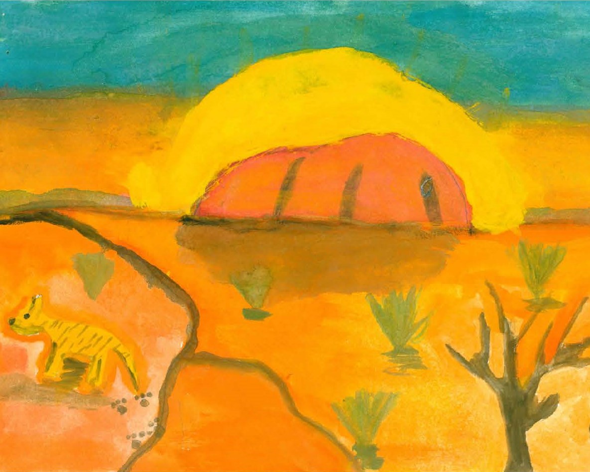
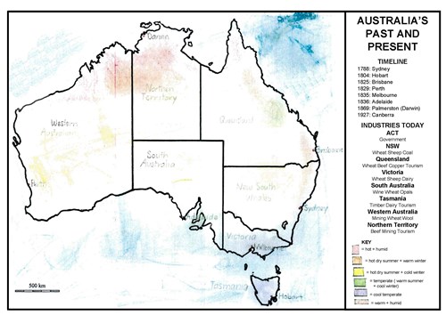
Students investigated the characteristics of three climate zones in Australia, including the relationship between climate and the nature, function or liveability of places in each zone. Students then created an artwork to visually represent each climate type, incorporating appropriate colours, symbols and landscape features. The finished artworks were exhibited as a classroom ‘climate art gallery’ with each image accompanied by a word-processed and printed explanatory artist statement using a teacher-provided template. The task was completed in class over a six-week period.

Achievement standard

By the end of Year 5, students describe the significance of people and events/developments in bringing about change. They identify the causes and effects of change on particular communities and describe aspects of the past that have remained the same. They describe the experiences of different people in the past. Students explain the characteristics of places in different locations at local to national scales. They identify and describe the interconnections between people and the human and environmental characteristics of places, and between components of environments. They identify the effects of these interconnections on the characteristics of places and environments. Students identify the importance of values and processes to Australia’s democracy and describe the roles of different people in Australia’s legal system. They recognise that choices need to be made when allocating resources. They describe factors that influence their choices as consumers and identify strategies that can be used to inform these choices. They describe different views on how to respond to an issue or challenge.

Students develop questions for an investigation. They locate and collect data and information from a range of sources to answer inquiry questions. They examine sources to determine their purpose and to identify different viewpoints. They interpret data to identify and describe distributions, simple patterns and trends, and to infer relationships, and suggest conclusions based on evidence. Students sequence information about events, the lives of individuals and selected phenomena in chronological order using timelines. They sort, record and represent data in different formats, including large-scale and small-scale maps, using basic conventions. They work with others to generate alternative responses to an issue or challenge and reflect on their learning to independently propose action, describing the possible effects of their proposed action. They present their ideas, findings and conclusions in a range of communication forms using discipline-specific terms and appropriate conventions.

By the end of Year 5, students describe the location of selected countries in relative terms. They explain the characteristics of places in different locations at local to national scales. They identify and describe the interconnections between people and the human and environmental characteristics of places, and between components of environments. They identify the effects of these interconnections on the characteristics of places and environments. They identify and describe different possible responses to a geographical challenge.

Students develop appropriate geographical questions for an investigation. They locate, collect and organise data and information from a range of sources to answer inquiry questions. They represent data and the location of places and their characteristics in graphic forms, including large-scale and small-scale maps that use the cartographic conventions of border, scale, legend, title and north point. They describe the location of places and their characteristics using compass direction and distance. Students interpret maps, geographical data and other information to identify and describe spatial distributions, simple patterns and trends, and suggest conclusions. They present findings and ideas using geographical terminology in a range of communication forms. They propose action in response to a geographical challenge and identify the possible effects of their proposed action.

Similar samples

Related samples