Work samples

Humanities and Social Sciences

Year 4

Satisfactory

Comparing countries

Summary of task

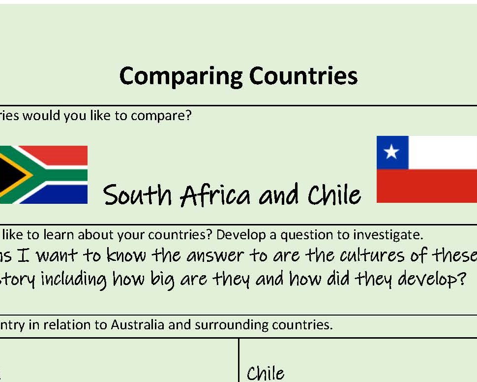
Students selected two countries, one in Africa and one in South America. With teacher guidance, they undertook a structured inquiry to identify and compare the geographical features of each country. Students recorded their word-processed findings and reflections on a teacher-provided proforma. The task was completed in class time over five 50-minute lessons. 

Achievement standard

By the end of Year 4, students recognise the significance of events in bringing about change and the importance of the environment. They explain how and why life changed in the past and identify aspects of the past that have remained the same. They describe the experiences of an individual or group in the past. They describe and compare the diverse characteristics of different places at local to national scales. Students identify the interconnections between components of the environment and between people and the environment. They identify structures that support their local community and recognise the importance of laws in society. They describe factors that shape a person’s identity and sense of belonging. They identify different views on how to respond to an issue or challenge. 

Students develop questions to investigate. They locate and collect information and data from different sources, including observations to answer these questions. When examining information, they distinguish between facts and opinions and detect points of view. They interpret data and information to identify and describe distributions and simple patterns and draw conclusions. They share their points of view, respecting the views of others. Students sequence information about events and the lives of individuals in chronological order with reference to key dates. They sort, record and represent data in different formats, including large-scale maps using basic cartographic conventions. They reflect on their learning to propose action in response to an issue or challenge, and identify the possible effects of their proposed action. Students present ideas, findings and conclusions using discipline-specific terms in a range of communication forms.

By the end of Year 4, students describe the location of selected countries using compass direction. They describe and compare the characteristics of places in different locations at local to national scales. They identify the interconnections between components of the environment and between people and the environment. Students recognise the importance of the environment and identify different possible responses to a geographical challenge. 

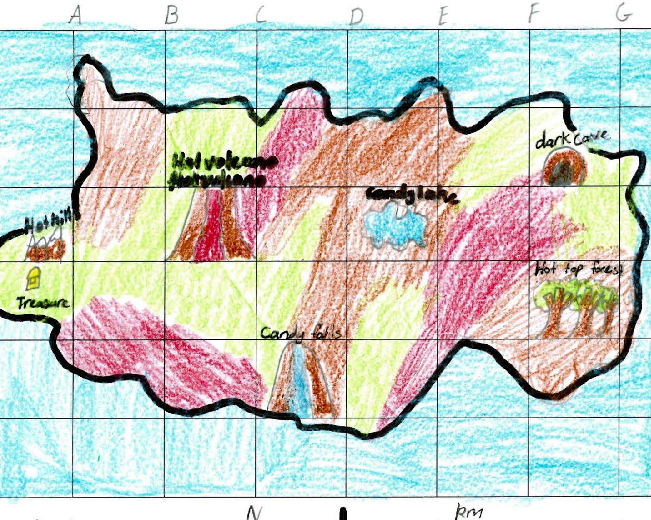
Students develop geographical questions to investigate and locate, collect and sort information and data from different sources to answer these questions. They record and represent data and the location of places and their characteristics in simple graphic forms, including large-scale maps that use the cartographic conventions of scale, legend, title and north point. They describe the location of places and their features using grid references and compass direction. Students interpret geographical data to identify spatial distributions and simple patterns and draw conclusions. They present findings using geographical terminology in a range of texts. They propose individual action in response to a local geographical challenge and identify some possible effects of their proposed action. 

Similar samples

Related samples