My map and globe
Summary of task
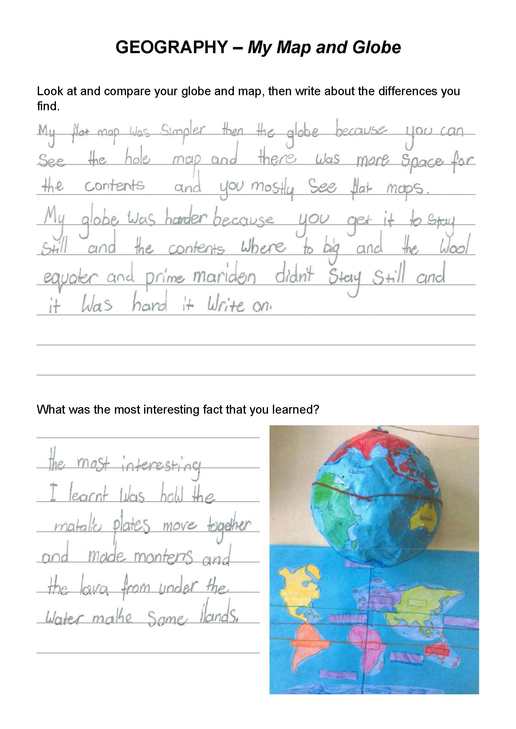
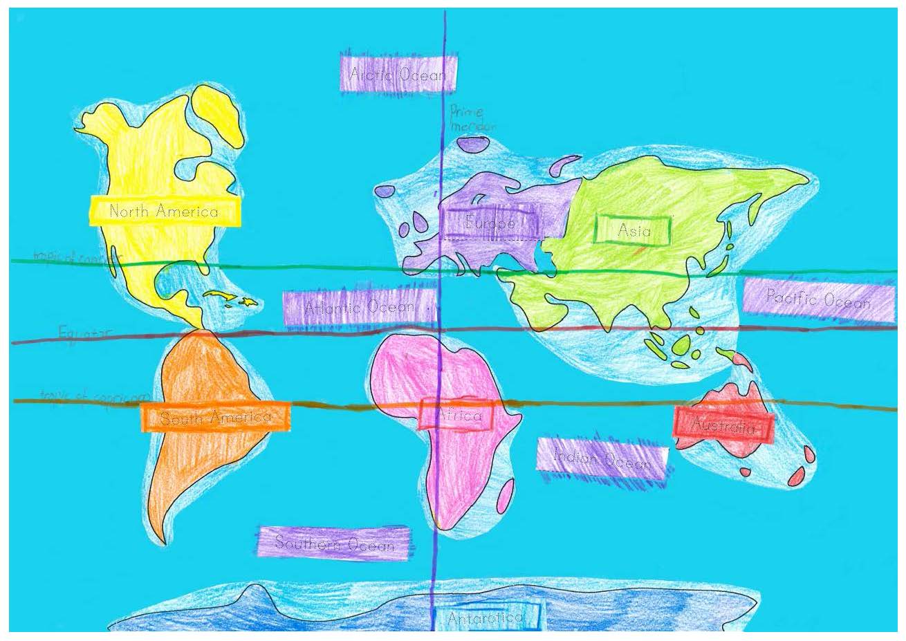
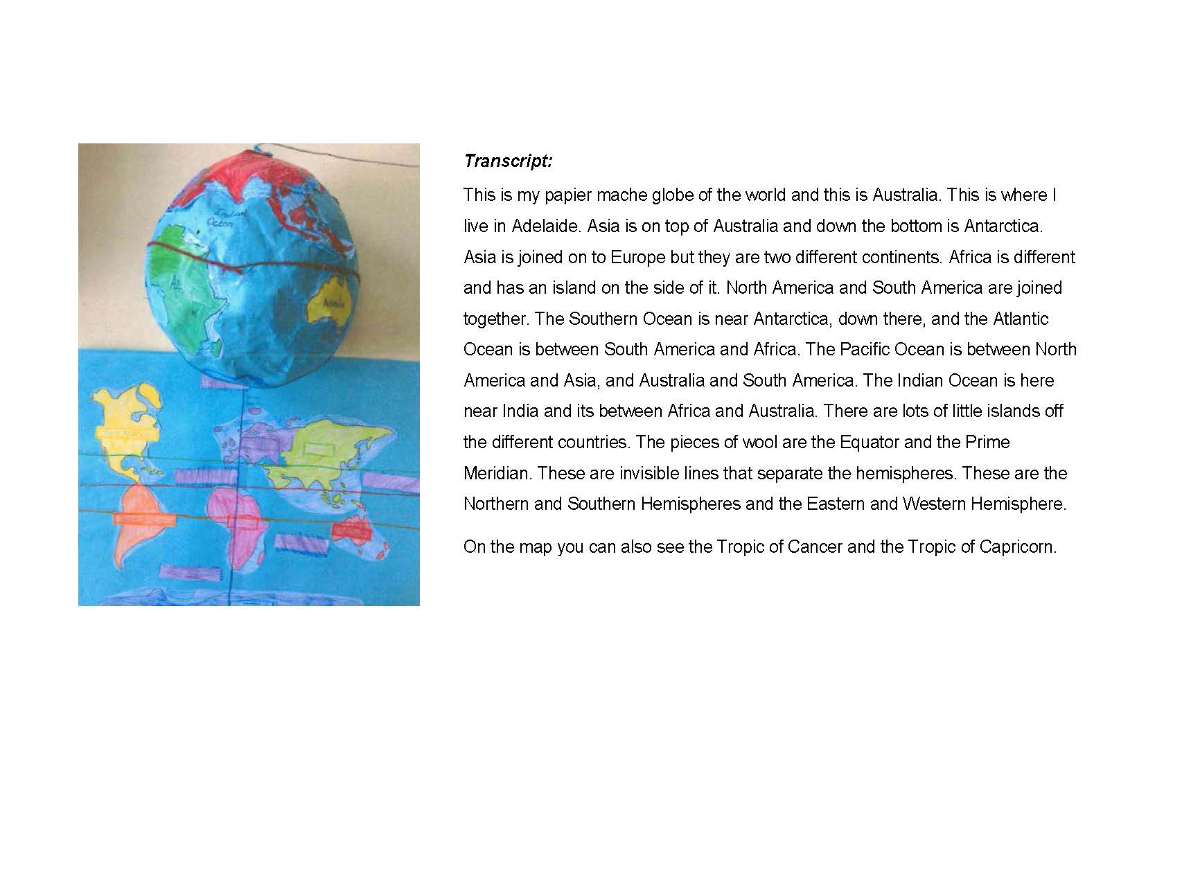
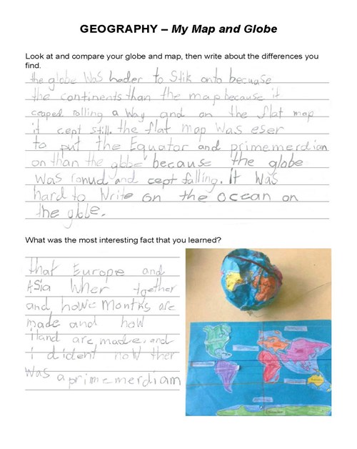
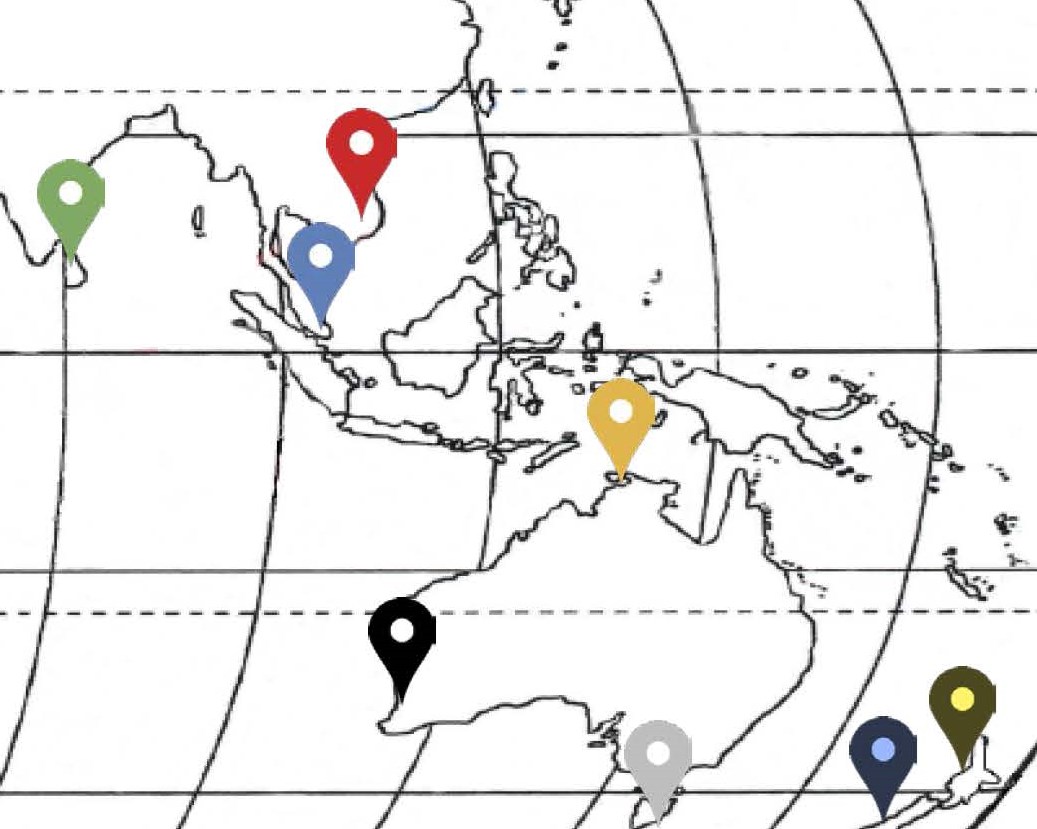
Students completed a series of activities associated with world maps and globes. First, after examining a series of printed maps and discussing the locations of continents, oceans and geographic regions, students produced their own labelled map of the world using the content of a teacher-provided worksheet. Then, after examining a world globe, students created their own papier mache globes and used paint, wool and the content of a teacher-provided outline map to replicate the positions of continents, oceans and the division of the hemispheres. Students then reflected on their learning through written comments. Finally, students gave oral presentations describing the key features of their maps and globes. A transcript of the presentation is provided as part of the work sample. These activities took place in class over a period of six weeks.
Achievement standard
By the end of Year 2, students identify the features that define places and recognise that places can be described at different scales. Students recognise that the world can be divided into major geographical divisions. They describe how people in different places are connected to each other and identify factors that influence these connections. They explain why places are important to people, recognising that places have meaning.
Students pose questions about familiar and unfamiliar places and answer them by locating information from observations and from sources provided. They represent data and the location of places and their features in tables, plans and on labelled maps. They interpret geographical information to draw conclusions. Students present findings in a range of texts and use simple geographical terms to describe the direction and location of places. They suggest action in response to the findings of their inquiry.
