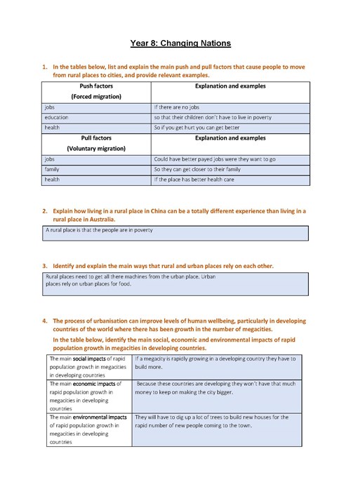
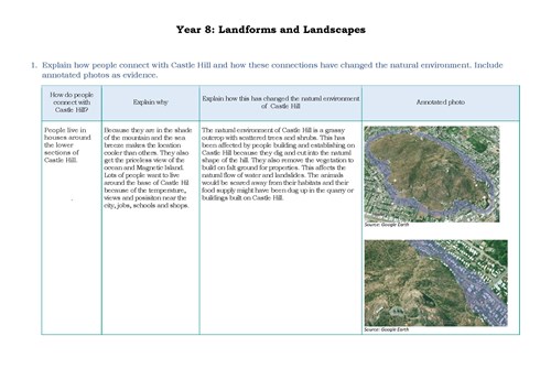
By the end of Year 8, students explain geographical processes that influence the characteristics of places and explain how places are perceived and valued differently. They explain interconnections within environments and between people and places and explain how they change places and environments. They compare alternative strategies to a geographical challenge, taking into account environmental, economic and social factors.
Students identify geographically significant questions from observations to frame an inquiry. They evaluate a range of primary and secondary sources to locate useful and reliable information and data. They select, record and represent data and the location and distribution of geographical phenomena in a range of appropriate digital and non-digital forms, including maps at different scales that conform to cartographic conventions. They analyse geographical maps, data and other information to propose explanations for spatial distributions, patterns, trends and relationships, and draw reasoned conclusions. Students present findings, arguments and ideas using relevant geographical terminology and digital technologies in a range of appropriate communication forms. They propose action in response to a geographical challenge, taking account of environmental, economic and social factors, and predict the outcomes of their proposal.
